
![]()
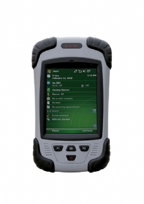
Powerful Application Platform
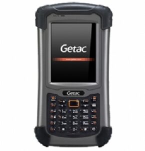
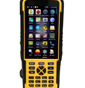
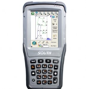
Powered by the Windows Mobile6.x, S10 is a great platform for field survey, mobile GIS applications, navigator and other
applications that are compatible with Windows Mobile system. So you may choose any software tailored to your needs in the field. The Windows Mobile 6 operating system includes personal productivity tools such as Windows Mobile Office and Mail system, allowing a seamless exchange of data between the field and office.
Innovative Technologies for High Performance
With a powerful processor and RAM, plus up to 16GB TF memory expansion, the S10 is a distinctive device designed to
get you all the facilities you need to work with maps and large data sets in the field.
Camera Function Plus
The built-in 5 mega pixel digital camera allows you to capture pictures of situation on site for GIS data collection.
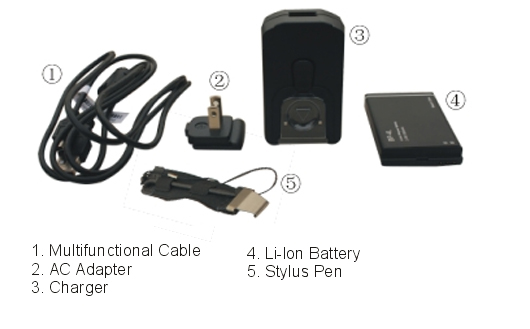
Productive Fieldwork Kit
The integrated cellular modem enables S10 to access internet to exchange GIS data with a server or other client. Bluetooth-enabled devices such as laser range finders, portable printers and barcode scanners can be wirelessly connected for convenient cable-free solutions.
Deliver More with Less
The rugged light-weight S10 is a simple but total solution to your biggest GIS mobile application challenges, which helps
you to map GIS data at high accuracy yet in less time with less effort.
Increased Efficiency
Supply your field workforce with the durable and compact S10 that integrates a rich collection of functionality, including a
photo and precise GPS receiver with 1~3m positioning accuracy, and you’ll reach an affordable way to maximize the
productivity of your entire team.
Reviews
There are no reviews yet.