Geomatics, land surveying, and equipment
Draughtsman-Inc Geomatics is a fully licensed and Insured Professional Land Surveying Company based in Portmore, Jamaica. We have two decades of experience, and as such, we are willing to work hard to earn your satisfaction and make sure you are pleased with our services. We specialize in House Location Surveys and lot and property line stakeouts for new construction and fences etc. Our Survey plots are fully colored and of high quality and detail. Turn-around time on orders can be as little as two days. Service is our goal and we are willing to work harder to be your land surveying company of choice.
Accurate & Professional Land Surveying Services
Surveyor ID Report
A survey which is required for the purpose of identifying existing buildings and improvements on a parcel of land is referred to as an Identification Survey or just Ident. It may only be undertaken by a Registered Surveyor.
Strata Plan
A Strata Plan is a registered document comprised of several pages of written descriptions, sketches and critical information about the lots. The Strata scheme comes about when a parcel of land or a building on a property is legally divided into a number of separate lots.
Boundary Survey
A boundary survey is a land survey performed for the purpose of locating and establishing the lines and corners of a parcel of land as legally described in a deed or document of record.
Engineering Surveys
Engineering Surveying is the broad term used to describe the work of surveyors on civil engineering jobs. The role of an engineering surveyor is a lot larger than simply set out for construction of a structure and survey pick-ups.
Subdivision Survey Design
This is the process of converting land to a different use by means of a map or plat, into lots, or lots and blocks, for the purpose of resale to residential, commercial, retail and / or industrial land uses.
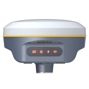
GPS control Survey
A GPS control survey utilizes high precision survey grade Global Positioning Receivers to establish horizontal and vertical values for remote locations. Measurements can be determined without the necessity of a clear line of sight between points on the ground which enables the surveyor to work in extraordinary terrain.
Site Comfirmation Report
After your on-site survey, your surveyor will write a report which will detail your practice’s compliance with each of the Government Certification Standards, including any requirements for additional documentation.
Drone (UAV) Mapping
Complete UAV Solutions for Surveying, Mapping, and GIS. Not just drones. Microdrones mdMapper packages include everything geospatial pros need for aerial surveying, mapping, and other geospatial applications